What is Routing App Coverage File?
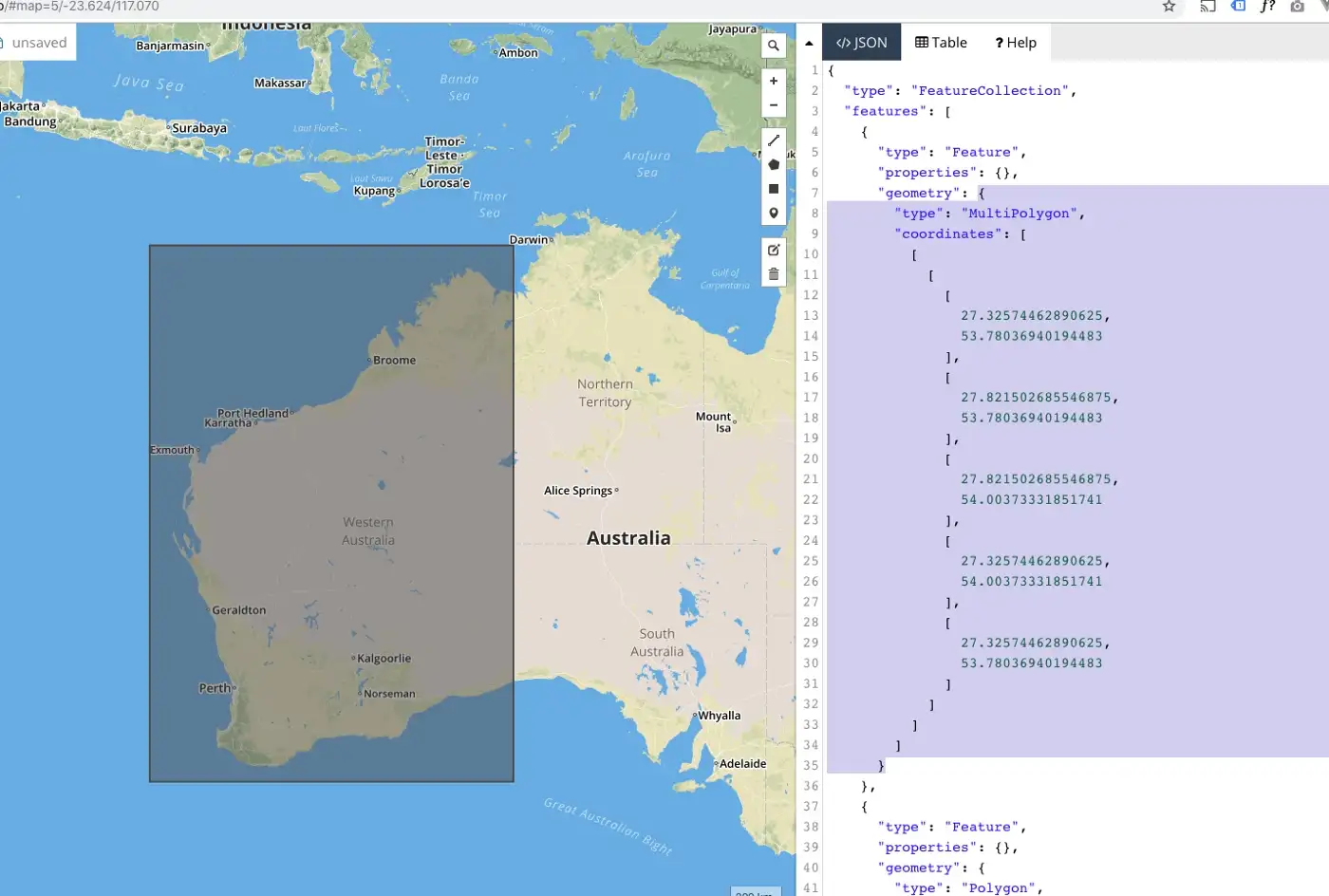
The "Routing App Coverage File" is a GeoJSON file which describes the coverage area for a public transit routing application (to be used with iOS 6 Maps). The iTunes Connect Developers Guide says: Routing app coverage files are . geojson files which specify the geographic regions supported by your app.

Routing app coverage files are often created by aggregating data from a variety of sources, including government agencies, commercial mapping companies, and user contributions. This data is then processed and formatted into a format that can be easily read and understood by the routing app.
There are several benefits to using a routing app coverage file for app makers. For one, it can help ensure that users of the app are able to navigate to their desired destination accurately and efficiently. It can also help app makers save time and resources by relying on pre-existing data sources rather than having to manually map out the coverage area themselves.
Additionally, routing app coverage files can be updated regularly to reflect changes in the road network, such as new construction or the closure of certain roads. This helps to keep the app current and accurate, and can improve the user experience.
Overall, a routing app coverage file is an essential component of any routing or navigation app, helping to provide users with reliable and accurate directions to their destination.
